EIT RawMaterials Projects
The ambitious vision of EIT RawMaterials is realised by the creation of a structured collaboration within the Knowledge Triangle, which is the basis of the EIT model.
Call for Innovation & Education Projects is now open!
EIT RawMaterials Projects Timeline
Call for projects opens / Partner conference and brokerage event
Project submission deadline / Closing call
Evaluation by panel of external experts
Short list and strategic review by the EIT RawMaterials Management Team
Selection for funding / Approval for funding by the EIT RawMaterials Executive Board
Project submission to the EIT / Business plan submission
Decision and final approval of funding by the EIT (European Institute of Innovation and Technology)
Grant agreements for projects
392 Projects
EC-Geo-Sustain: European MSc in Geomatics for Sustainable Mineral Resource Management
ECLCProSchool: CLC-EAST Professional School

ECO COM’BAT: Ecological Composites for High-Efficient Li-Ion Batteries
ECOPADS: Eliminating COpper from brake PADS and Recycling
ECOS. E-mobility cost study – The cost of mobility
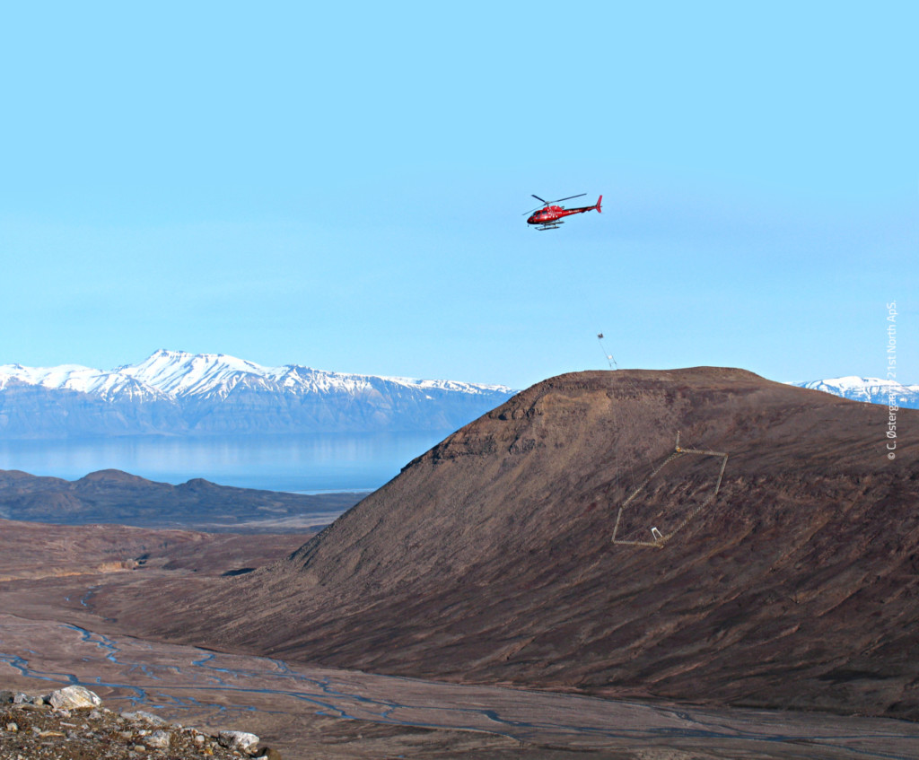
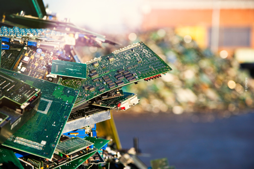
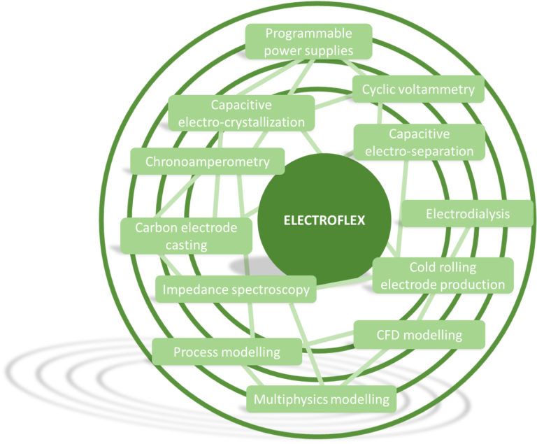
ElectroFlex: (Bio)Electrochemical extraction and recovery of metals from low grade ores and residues
ElectroFlex: (Bio)Electrochemical extraction and recovery of metals from low grade ores and residues
Project duration: 1 April 2017 – 31 March 2020
Objective
The ElectroFlex project intends to lower the barrier to innovation for customers/companies in the field of electrowinning and electro-separation techniques for complex, low-grade raw materials and residues by offering access to one-of-a-kind, key infrastructures and services organised in a network of top-level universities, research institutes and companies.
The solution (technology)
A single-point-of-contact will be installed to act as coordinator or hub of the network to set-up, manage, operate and promote the network in a transparent and efficient way. In addition the coordinator will install a follow-up process to guide and connect customers to other KAVA activities. De-silo expertise by initiating community building and facilitating a mutual learning process among the partners by sharing best practice at workshops, meetings and through collaborative projects, will lead to excellence of the network at the European and global stage. Smart specialisation will be stimulated by the partners by making an inventory of the available infrastructure within the network, the KIC and Europe and by organising interactions with stakeholders to define their needs and identify gaps in key infrastructure to be filled by the network/KIC in follow-up projects or investments.
Partnership
- Vlaamse Instelling voor Technologisch Onderzoek NV – (Flemish Institute for Technological Research NV VITO), Belgium (Lead Partner)
- Aalto-Korkeakoulusaatio (Aalto University), Finland
- Chalmers tekniska högskola AB (Chalmers University of Technology), Sweden
- Ghent University, Belgium
- Katholieke Universiteit te Leuven (KU Leuven), Belgium
- Rheinisch-Westfaelische Technische Hochschule Aachen, RWTH Aachen, Germany
- Stichting Wetsus European Centre of Excellence for Sustainable Water Technology, (Wetsus), The Netherlands
- Technische Universität Bergakademie Freiberg (TUBAF), Germany
- Teknologian tutkimuskeskus VTT (Technical Research Centre of Finland Ltd. VTT), Finland
- UMICORE NV, Belgium
For more information, please check the project website.